The value of the páramos
By Diego Mauricio (Regional Network of
Water and Environment)
PIURA CITY, Peru – The Ministry of environment recognized in 2008the economic importance of the Andean páramos for the population depending on this ecosystem. That entitty’s former Natural Resources manager Walter Huamani affirmed that “we recognize that [the páramos] historically do have an economic value and the communities located at the highlands ever used it and know of that value.”
“If
they don’t know of bank accounts, that is another issue, but they know [the
páramos] have a value, and they use it and they live from it. The ecosystems
feed the people, whether native people or surrounding people,” he said.
According
to the Chira-Piura Hydrographic Basin Autonomous Authority, there was in 2018 a
total of 929,247inhabitants through the basin, that represented 56% of the Piura
department’s population. As well, Piura
highlandss had a population of 55,889 heads of cow cattle wwhich Huancabamba Province
owned 26,166.
Mr
Huamani highlighted the conservation state of páramos in this part of the
nation: “What have to do is empowering that relationship to the knowledge of
that zone (…) We are consuming more, that most consumption is going to the
[natural] resources, and the resources come out from the ecosystems – if
someone consumes more meat, it comes out from cows coming from, that are at the
highlands…”
In
the same way, Mr Huamani criticized the attitude of department’s citizens: “It
could seem there would be two Piuras, one up there and other down there,”
regarding to the lack of interest for the conservation of páramo as a water generator.
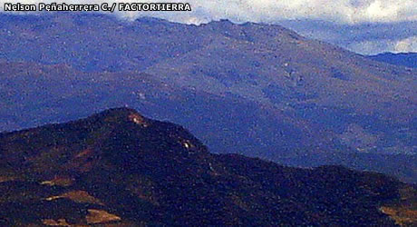
As it
is known, Piura Andes has no snow-covered mountains because it is located in
the lowest part of Peruvian Andean
Range, reaching an approximate maximum 12,870-feet altitude. However, the
water coming from those highlands is created because of the natural ecosystem
called Andean páramo by some
scientists, that captures and stores the water found in form of fog, then
running it down the lowlands of Quiroz Basin.

The international scientific community is concerned because the glaciars of Cordillera Blanca in Ancash Department (Peruvian central-northern)have lost one-fifth of their snow in the last two decades. The snow-covered mountains are the most important water source in at least 80% of the Peruvian territory. The remaining is generated by the páramos and the cloud forests. On the picture, Huandoy (left) and Huascarán (right) snow-covered mountains, this last one is the highest of Peru, as seen from the air over 23,100 feet altitude. Huascarán is 22,334 feet.
Graphic post-production by Lucía García.
Additional edition and translation by FACTORTIERRA.
Also check out:
Only for braves.


Comentarios
Publicar un comentario